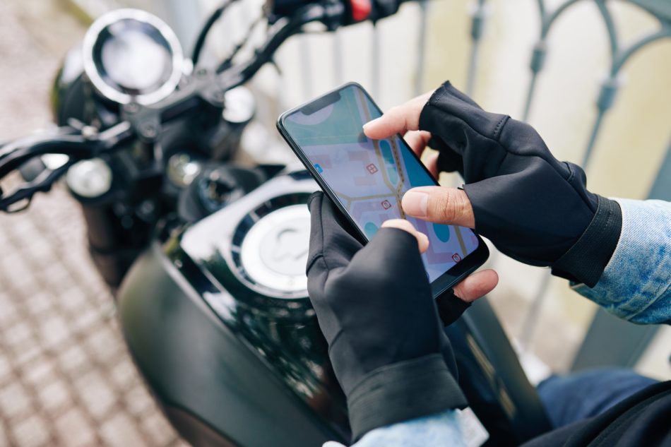
Download it on Android or iOS. Instructions for offline maps are available for Android and iOS.
When I’m driving around the US, I prefer Waze. I like the interface and driving features much more than Google Maps. When I travel outside the US, however, my main navigation app is Google Maps. It’s got nearly perfect maps of every country I’ve ever been to (except parts of South Korea).
Assuming I don’t leave a main city (London, Tokyo, etc.), I don’t rent/hire a car when I’m abroad. I generally prefer public transportation. This helps me feel immersed in the local culture and gives me more enjoyment. Sure, it takes longer and can be crowded, but in my opinion, why go somewhere just to take a few pictures of things people built without getting to know them first? An amazing thing about Google Maps is that it has up-to-date public transportation routes and schedules. If there are delays or route changes on trains/buses (when I lived in New York City this would happen quite frequently), Google Maps would let me know how to modify my route.
If I have a day to spend walking around a new city, I usually will do so. There are super friendly walking routes available in the app too. The footpath navigation is pretty impressive and I’ve never had it go wrong for me.
You can create an itinerary to help you plan out your trip days. If you’re traveling with a group, you can also share it so everyone knows what the plan is.
One of my favorite parts of the app is that it can store offline maps. I always have my home area backed up offline, just in case the internet access goes out. You don’t need an internet connection to navigate… your phone will detect the GPS satellites in orbit. The internet connection is just for maps that aren’t cached yet, traffic, roadblocks, etc.

